
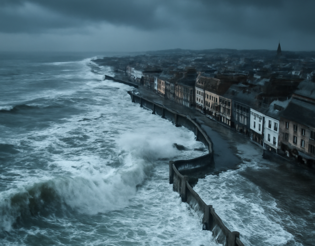
Galway and Limerick could have faced extensive flooding if Storm Éowyn had coincided with a high or spring tide, according to modelling by researchers developing an AI-powered flood forecasting system for Irish cities.
The findings highlight how the impact of coastal storms depends not only on wind speed and rainfall, but also on tide levels, wind direction and the shape of local coastlines. The research forms part of StopFloods4.ie, a project led by University of Galway engineer Indiana Olbert and economist Thomas McDermott.
Storm Éowyn’s surge coincided with a falling neap tide
Olbert examined two decades of tide-gauge records to assess why Storm Éowyn caused comparatively limited flooding on Ireland’s west coast, despite producing an exceptionally powerful storm surge.
At Galway Port, the surge peaked at about 2.6 metres at approximately 6am on January 24th, 2025. Researchers described that level as unprecedented in the available records. A storm surge occurs when strong winds and very low atmospheric pressure push additional seawater towards the coast, on top of the normal astronomical tide.
In this case, however, the surge arrived during a neap tide and while the tide was receding. The resulting water level reached roughly the level of a normal high tide, which Galway’s existing flood defences are designed to withstand.
Galway could have seen almost six metres of water
Researchers modelled how the same surge might have affected Galway if it had arrived during high water on a spring tide. Under that scenario, the combined water level could have approached six metres.
Areas identified as particularly vulnerable included:
- Flood Street
- High Street
- Lower Shop Street
- The Claddagh
Olbert said these locations could have been substantially inundated. The precise pattern of flooding would also have depended on wind direction. Salthill promenade, around 1.5 kilometres west of Galway city, could have avoided the worst impacts from a southwesterly wind, while a more westerly wind would have pushed more water into Galway Port at the mouth of Galway Bay.
Limerick also vulnerable to a similar coastal flood
Limerick city could have experienced a comparable event, the researchers found. Prevailing southwesterly winds would have combined with a significant storm surge to raise water levels around the Shannon and produce extensive flooding.
Cork, another major population centre on Ireland’s Atlantic coast, would have been less exposed during Storm Éowyn. The wind was not directed straight into the city, meaning Cork was not in the direct path of the water driven inland by the surge.
Forecasting the combined flood risk
The research comes as emergency planners face increasingly complex decisions during extreme weather. Forecasts are available for individual hazards such as wind, rainfall, tides and storm surges, but predicting how those factors will combine at street level remains more difficult.
Thomas McDermott said local authority teams can currently be required to interpret information from Met Éireann, international weather models and the Marine Institute, alongside local knowledge. They must then decide which roads to close, where to send response crews and which communities may need the most urgent support.
StopFloods4.ie aims to bring these different data sources together so that decision-makers can identify the streets, neighbourhoods and properties most likely to flood in the days and hours before a major event.
The project has received Research Ireland funding and combines several technologies, including:
- Internet-of-things sensors
- Hydrodynamic flood modelling
- Statistical analysis
- Machine learning
The system is being prototyped with city-level decision-makers. Its goal is to support faster, more targeted emergency responses rather than relying on separate forecasts and manual interpretation.
Climate change could increase future flood losses
The researchers also pointed to earlier work on flood risk in Cork. The city’s 2009 flood caused more than €100 million in damage and was modelled as approximately a one-in-160-year historical event.
McDermott said that under future climate conditions, events of that scale could occur more frequently. Under a high-emissions scenario, annual flood costs in Cork could increase tenfold by 2050, rising from tens of millions of euro to hundreds of millions.
The team also used machine learning to examine Ireland’s national planning applications database. It found that roughly 10,000 housing units received planning permission in areas identified as flood-risk zones between 2016 and 2022, despite the existence of Office of Public Works flood maps and planning guidance.
Researchers cautioned that historical flood maps may not fully represent future conditions. As climate change alters rainfall, sea levels and storm behaviour, flood plains may expand and already vulnerable locations could flood more often.
What the findings mean for flood preparedness
The Storm Éowyn analysis does not mean Galway or Limerick were certain to flood catastrophically. Instead, it demonstrates how a small change in timing could have produced a very different outcome.
For emergency planners, the key lesson is that a storm’s headline wind speed is only one part of the risk. Tide timing, surge height, wind direction, drainage, defences and the location of buildings all influence what happens on the ground.
Better integrated forecasting could help councils make more precise decisions before water reaches streets and homes. It may also support longer-term planning by showing where new development could face greater exposure as climate risks change.
For Ireland’s coastal cities, the research underlines the importance of preparing for combinations of hazards, not just isolated weather warnings. Storm Éowyn avoided the worst possible tidal alignment. Future storms may not.
Conclusion
The latest findings on Storm Éowyn show why flood preparedness in Ireland must account for the interaction between storm surges and tides. Galway and Limerick escaped the most severe scenario because the surge arrived during a falling neap tide, but modelling suggests that a high or spring tide could have produced widespread flooding. Integrated forecasting systems such as StopFloods4.ie could give emergency managers better information to protect communities as climate-related risks grow.