

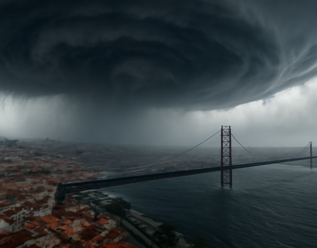
Portugal has declared a nationwide state of alert as depression Charles approaches, with forecasters warning that a rare sting jet could produce highly destructive wind gusts above 160 km/h in parts of the country.
The greatest concern is focused on Greater Lisbon, where the phenomenon could develop between midday and late afternoon on Wednesday, a period when people are typically travelling on roads and using public services.
What is a sting jet?
A sting jet is a narrow, rapidly descending air current that forms within certain powerful extratropical storms. As the air moves down from higher levels of the atmosphere, it can reach the surface with exceptional force across a relatively small area.
The Portuguese Institute for Sea and Atmosphere, known as IPMA, said there were indications that the phenomenon could occur but stressed that it is difficult to predict with precision. The localised nature of a sting jet means that standard forecasts may not fully show where the most damaging winds will be felt.
Possible impacts include:
- Very strong and sudden wind gusts
- Fallen trees and damaged structures
- Disruption to electricity supplies
- Dangerous conditions on roads, bridges and exposed routes
- Urban flooding when intense rainfall coincides with high winds
Greater Lisbon faces particular risk
Greater Lisbon has been identified as an area requiring particular attention as storm Charles moves through. Weather simulations from the European Centre for Medium-Range Weather Forecasts showed a hooked structure that meteorologist Duarte Costa said resembled the pattern associated with a sting jet.
The potential timing is a major concern. Unlike storm Kristin, which caused severe damage in parts of Leiria earlier in the year, Charles could reach its greatest intensity during daylight hours. That may increase exposure for pedestrians, motorists, commuters and outdoor workers.
Risk could be higher if the strongest winds coincide with peak travel periods. Authorities have therefore urged residents to avoid unnecessary journeys and follow instructions from emergency services.
Portugal declares state of alert
The Portuguese government has declared a state of alert across mainland Portugal for Wednesday. The measures are intended to reduce exposure to dangerous weather and protect emergency-response capacity.
According to the announced precautions:
- Public and private schools will close.
- Non-essential public services will shut.
- Access to parks, forests and gardens will be prohibited.
- Residents have been urged to remain at home where possible.
Portugal’s minister for Internal Administration, Luís Neves, warned that the storm could create difficult rescue situations, particularly if flooding, falling trees and power failures occur at the same time.
Red warnings issued in eight districts
IPMA has issued red weather warnings for eight mainland districts: Beja, Évora, Faro, Leiria, Lisbon, Portalegre, Santarém and Setúbal. The warnings are in place until 9 p.m. on Wednesday.
Residents in affected areas should secure loose objects, avoid exposed locations and remain away from trees, construction sites, coastlines and other places where wind-related hazards may increase. Drivers should also be prepared for sudden reductions in visibility, surface water and debris on roads.
Travel and transport restrictions in Lisbon
Transport restrictions are being introduced in and around the Portuguese capital. All tunnels and car parks in Lisbon, along with some bridges, are scheduled to close from midnight.
Speed limits on the Vasco da Gama and 25 de Abril bridges have been reduced to 60 km/h. Motorcycle travel on the bridges is being discouraged because of the risk posed by strong crosswinds.
Public transport services may operate with changes:
- Metro de Lisboa and Fertagus plan to continue operating.
- Carris bus services may be altered during the day depending on weather and safety conditions.
- Rede Expressos has suspended services between 10 a.m. and midnight on Wednesday.
Travellers should check directly with operators before setting out, as conditions may lead to further changes.
Why the warning matters beyond Portugal
The storm is part of a wider episode of severe weather affecting the Iberian Peninsula. Storm Charles is expected to bring intense rain and strong winds, while Portugal is also monitoring the passage of depression Bruna.
Although a sting jet is relatively small and localised, its effects can be serious because the strongest winds may arrive suddenly and affect infrastructure, transport networks and electricity distribution. The uncertainty surrounding its exact position makes official warnings and local instructions especially important.
For Irish and other European travellers, the immediate implications are concentrated in Portugal, particularly mainland districts under red warning. Anyone planning to fly, drive or use long-distance transport in the affected areas should confirm schedules and allow for disruption.
What happens next?
IPMA and Portugal’s civil-protection authorities will continue monitoring the storm’s structure and track. The key period is Wednesday afternoon, when the potential sting jet could develop over or near Greater Lisbon.
The state of alert, school closures, public-service restrictions and transport measures are preventative actions rather than confirmation that a sting jet will occur. Forecast confidence may improve as Charles approaches, but residents should treat official warnings seriously and avoid unnecessary movement during the most hazardous period.
Conclusion
Portugal is taking precautionary action as storm Charles brings the possibility of a rare sting jet, with gusts above 160 km/h potentially affecting Greater Lisbon and several other districts. The most important steps for residents are to stay indoors where advised, avoid travel in exposed areas and follow updates from IPMA and civil-protection authorities as the storm develops.