


Ireland’s brief taste of intense summer heat has faded fast, with breaking news ireland readers now facing a far more familiar outlook: cloud, drizzle, scattered rain and cooler temperatures. After Europe’s recent heatwave pushed conditions to unusual highs, the latest Ireland weather news points to a damp and mixed opening to July, with Met Éireann forecasting unsettled conditions nationwide before brighter and warmer spells potentially return later in the month.
Cooler weather returns after recent heat
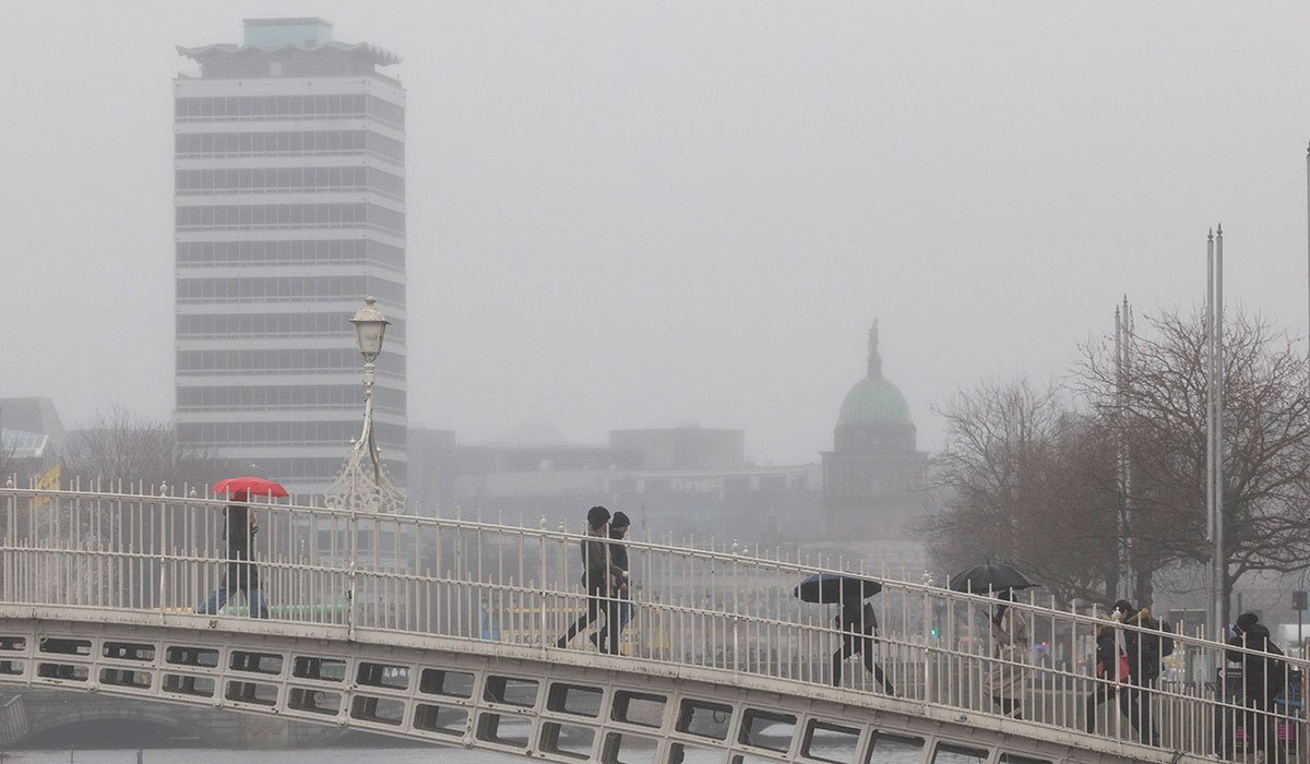
The latest forecast shows Ireland slipping back into its more typical summer pattern. Wednesday is expected to begin with isolated showers in the east and some sunny breaks in places, but the west will see rain and drizzle develop through the morning. As the day progresses, those duller conditions are set to spread nationwide.
By afternoon, much of the country can expect:
- Extensive cloud cover
- Light drizzle and mist
- Hill and coastal fog in some areas
- Later spells of rain moving in from the northwest
- Fresh to gusty winds developing into the evening
Temperatures are forecast to stay modest, ranging from 15C to 21C, a noticeable drop from the sweltering conditions seen across parts of Europe recently. For anyone tracking ireland news today and ireland current affairs, this marks a significant shift back to normal summer variability.
Midweek outlook: rain first, then a brighter Thursday
Wednesday night is expected to remain cloudy at first, with patches of rain and drizzle gradually clearing eastwards. Clearer spells should develop later, while overnight temperatures are set to fall to between 10C and 14C. Winds from the southwest to west will stay fresh and gusty early on before easing overnight.
Thursday brings a somewhat better picture in the latest news ireland update. Forecast guidance suggests a drier day overall, with a mix of cloud and sunny intervals. A few showers are still likely, especially in the northwest, but many areas should get useful dry spells.
Temperatures on Thursday will remain similar to Wednesday, while lighter winds inland may become stronger near northern coasts. Thursday night is likely to turn cloudier again, with some spots of light rain or drizzle, although southern and eastern counties may stay drier and clearer for longer.
Read more:
Friday and the weekend: limited sunshine but some warmth in the southeast
Friday is currently expected to stay mostly cloudy, with limited sunny spells and occasional light rain or drizzle. However, there is some encouragement for the southeast, where temperatures could climb as high as 24C. That means some parts of the country may still hold onto warmer conditions despite the broader gloomy trend.
Later Friday night, the air is expected to become mild and humid, though cloud cover and patchy rain are also likely to persist. Looking ahead to the weekend, forecasters indicate largely cloudy days with patchy rain and drizzle, especially in the northwest, which is also likely to be the coolest part of the country.
The south and east should fare best for brighter breaks and relatively warmer conditions. This split in regional weather will be closely followed in ireland live updates, dublin news, cork news, galway news and limerick news as local conditions may differ sharply from county to county.
Could another hot spell reach Ireland?
Despite the dreary short-term forecast, there are signs that this unsettled pattern may not last all month. Met Éireann says the week ahead will stay mixed, with rain or showers at times, but also with decent dry periods and temperatures generally in the high teens to low twenties.
More notably, independent weather analysis has hinted at the possibility of very warm air moving toward Ireland during the first half of July. Weather watchers following ireland weather news and ireland breaking news will be interested to hear that some forecast models suggest another hot spell could develop between roughly July 6 and July 14.
One forecast interpretation even points to the possibility of temperatures pushing into the 30s again if the warm plume sets up in the right way. However, that scenario remains uncertain at this stage and may also bring a thunderstorm risk if the warm air breaks down.
Explore more:
What this means for the week ahead
For now, the takeaway is straightforward: pack the rain gear, expect changeable skies, and do not rule out some warmer interludes. This stretch of breaking news ireland in the weather cycle is less about extreme heat and more about a return to Ireland’s classic summer mix of drizzle, cloud, bright breaks and regional contrasts.
If model trends hold, the current gloomy spell may only be temporary. In the meantime, anyone following breaking news ireland and the latest Ireland weather developments should watch for updates on rain bands, weekend conditions and the growing prospect of another significant warm spell later in July.
Article/Image Courtesy: Extra.ie


